FocusPOD
End-to-end solution for Precise Orbit Determination (POD) and Geodesy
Proprietary solution for Precise Orbit Determination (POD) and Geodesy
FocusPOD is powered by GMV MAORI ®, a new GMV Flight Dynamics and Geodesy library, written in C++ and Python.
- It provides Precise Orbit Determination (POD) tools to deliver the most accurate solutions.
- It supports simulation, processing, quality control, and analysis, making it in an end-to-end tool capable of supporting design, testing, and operations.
FocusPOD is part of GMV’s FocusSuite family of products.
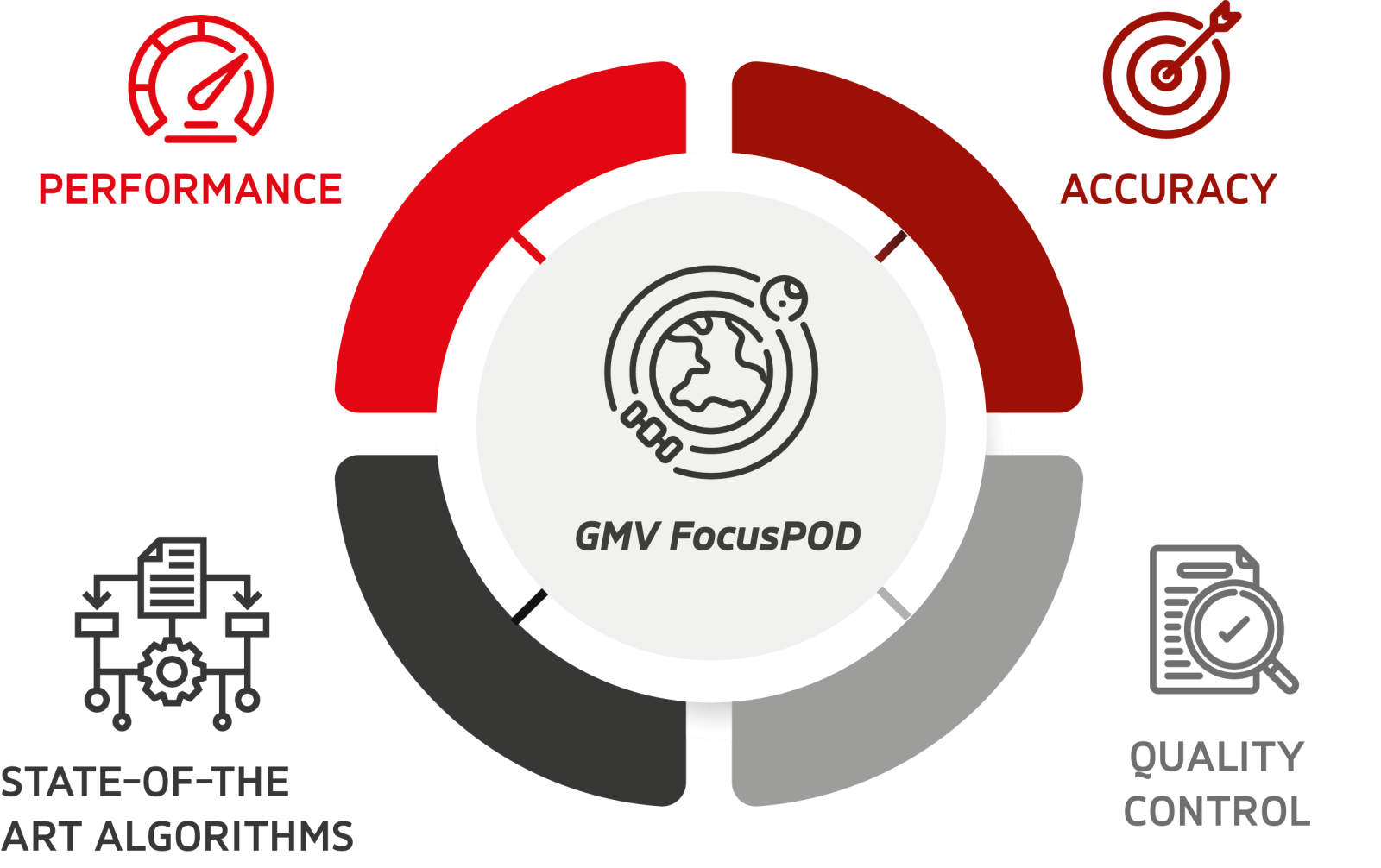
FocusPOD provides high-precision, high-performance orbit and clock determination of LEO satellites, using GNSS data.
- It implements state-of-the-art orbit and observation modeling, to achieve the highest accuracies.
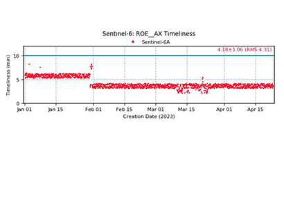
- Its high-performance design makes it possible to obtain near-real-time solutions in a matter of minutes.
- Its flexible design allows to adapt to the needs of each customer (ad-hoc vs. as-a-service processor, one vs. multiple satellites, etc.)


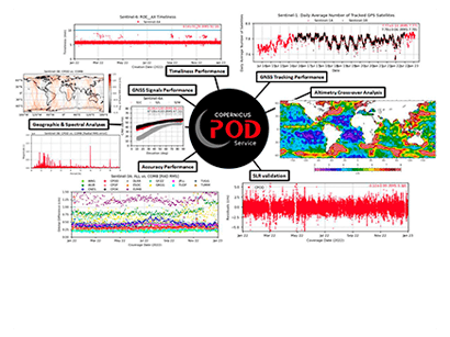
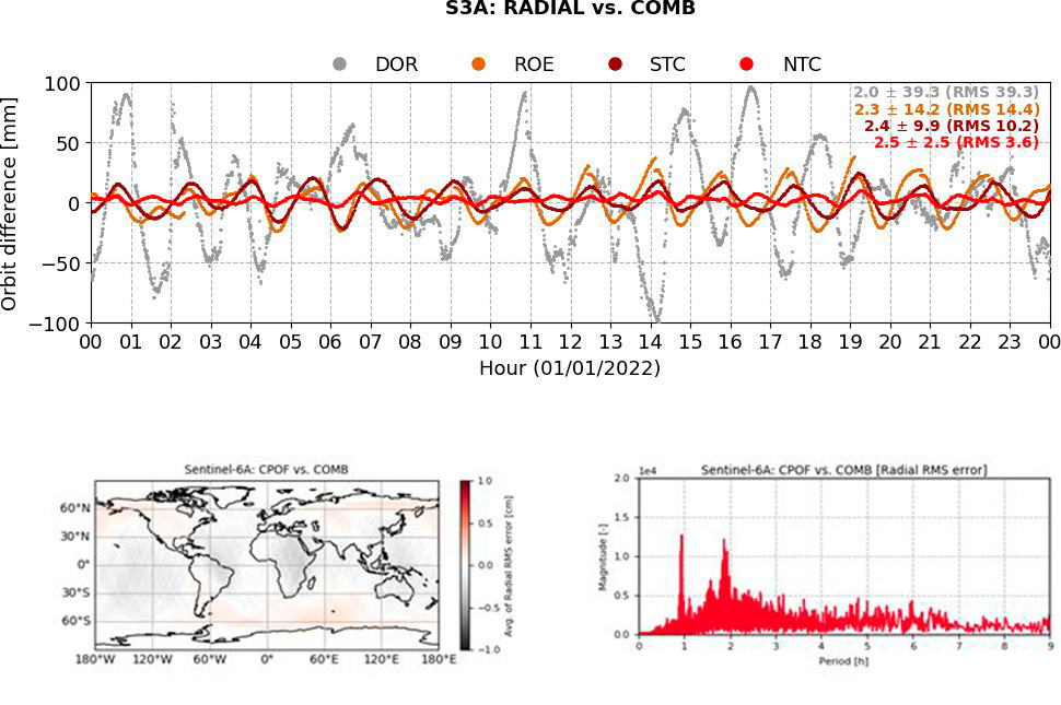
FocusPOD allows the quality of POD products to be assessed using a variety of strategies, including:
- The generation of combined orbital solutions for reference.
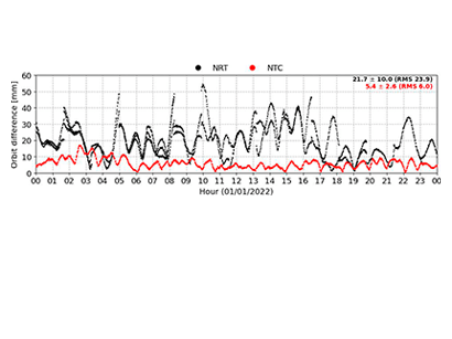
- Time-series comparisons.
- GNSS / SLR residual analysis.
- Geographical error plotting.
- Spectral error analysis.
FocusPOD processes SLR data for:
- Quality control of orbital products through SLR residual analysis.
- SLR range bias estimation.
- POD using SLR data, both with and without GNSS data.

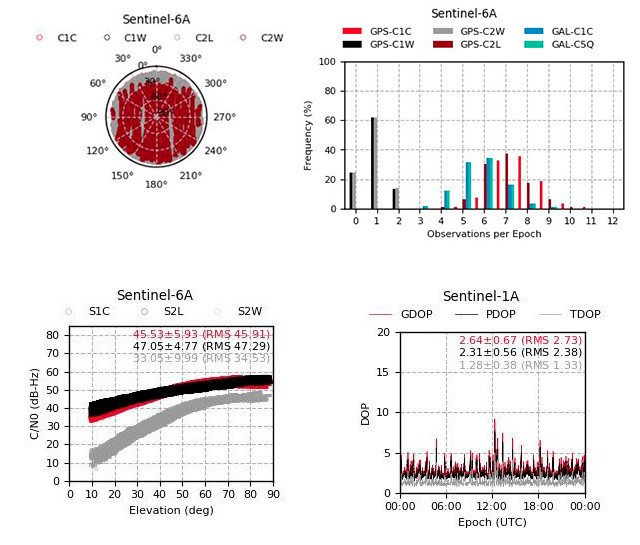
FocusPOD enables the assessment of GNSS receiver and antenna performance, including:
- Tracking analysis: sky-plots, histograms, and time series.
- Signal strength.
- Dilution of precision (DOP).
- GNSS ultra stable frequency.
- Estimation of antenna phase center variation (PCV).
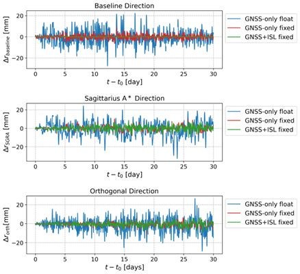
FocusPOD can simulate orbits, clock biases, satellite´s attitudes, and GNSS observations to determine the expected performance of a future mission, making it a realistic, end-to-end analysis tool.
FocusPOD currently supports applications in the following areas:
-
Satellite Altimetry
-
(Interferometric-) Synthetic Aperture Radar
-
Radio Occultation
-
Navigation
-
Geodesy
