GMV assesses impact of Turkey earthquake

As part of its emergency management efforts, GMV is conducting an impact assessment of the earthquake that struck Turkey and Syria in the early hours of Monday morning on February 6.
GMV is using optical imagery of the highest resolution to keep the EU Civil Protection Mechanism’s Emergency Response Coordination Centre (ERCC) apprised of the situation facing the population and infrastructure in several affected cities (Gaziantep, İslahiye, Düziçi and Bahçe).
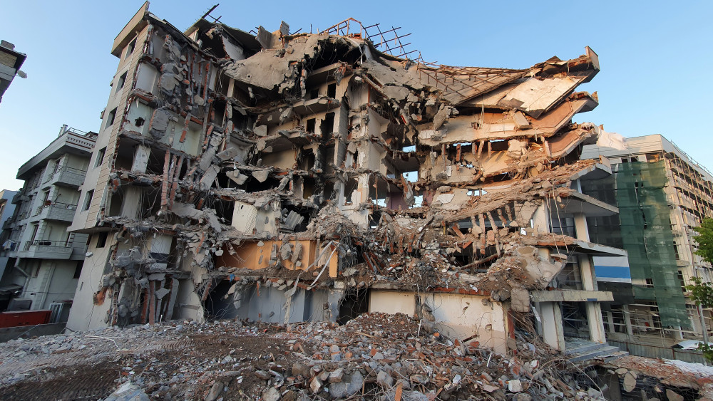
GMV is assessing how the population and infrastructure have been affected by one of the largest quakes in the last decade, compiling all information from high-resolution satellite imagery. These images show the challenge faced by rescue teams and reveal the widespread destruction caused in towns and villages across the region. Completely flattened residential areas, makeshift tents set up on soccer fields, and heavy traffic jams on roads, many of which are closed, are some examples of what they have captured.
This action is being done thanks to the Copernicus program, which keeps satellites and Earth observation services operational to support management and decision-making in different areas, particularly in the field of emergency management.