The value of EO satellite data in tackling global threats

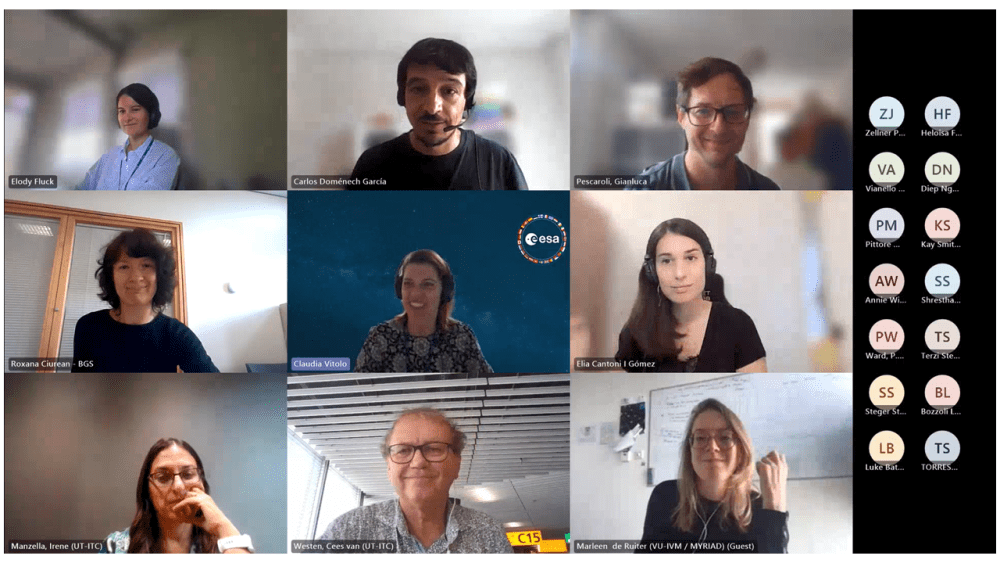
The European Space Agency’s (ESA) EO4MULTIHA (High-Impact Multi-Hazards Science) initiative, a two-year project taking place as part of the ESA‑EC Earth System Science Initiative, held its kick-off meeting (KOM) on 13 September.
The data provided by Earth observation satellites provide key information that help us grasp our planet's complexities and monitor the environmental problems and threats it faces. This global vision allows the scientific community to detect signs of change, identify significant trends, and fine-tune models to predict the future. The ability to address and tackle these threats is key to predicting future changes, supporting the development of effective policies, enabling communities to build a more sustainable and resilient future, and managing the associated consequences.
In this context, EO4MULTIHA seeks to explore the full potential of Earth observation satellite data in order to better describe and understand the factors and complex underlying processes that lead to several high-impact multi-hazards, such as droughts, floods, and landslides. The project will focus on concatenations of events, particularly cascading and compound events, and on improving our ability to assess vulnerability, risks, and the potential impacts of these threats.
EO4MULTIHA will be carried out by a consortium led by GMV and made up of major European universities, agencies, and research centers such as Eurac Research (Eurac), CMCC (Euro-Mediterranean Center on Climate Change Foundation), UT-ITC (University of Twente's Faculty of Geo-Information Science and Earth Observation), UCL (University College London), and VU (Vrije Universiteit Amsterdam).
In addition to leading the consortium, GMV will be in charge of providing the project’s modeling teams with satellite data.

EO4MULTIHA Kick off Meeting, September 13