GMV leads a project for application of EGNOS to maritime safety

Satellite navigation systems (GNSS) have now been widely taken up by the public at large as a geolocation and guidance service, but the technology developed to date has a much wider potential use range. These systems are nowadays some of the most trustworthy for improving navigation safety, representing a crucial aid for many means of transport.
Although GPS, GLONASS and Galileo are already up and running, they all need the support of signal augmentation systems to work properly and fulfil their remits. These augmentation systems may be aircraft-based (ABAS), ground-based (GBAS), ground-based regional (GRAS) or satellite-based (SBAS).
In particular the EGNOS (European Geostationary Navigation Overlay Service) program is a satellite-based augmentation system that tops up the GPS service in all European countries, with the possibility, range permitting, of extension to other regions further afield. Developed by the European Space Agency (ESA) and the European Commission, this geostationary augmentation service, in which GMV has participated right from the word go (1999), is made up by three geostationary satellites, a network of 40 ground stations and 4 control centers to deal with the transmitted signals.
The EU is now working on the third phase of this program (EGNOS v3), designed to boost the performance not only of GPS but also of Galileo, working both in single and dual frequency. At the same time many projects are now underway to harness this technology in various areas, not only in aviation but also in the terrestrial and maritime sector.
One of these projects, being carried out by a GMV-led consortium, is SEASOLAS. Its remit is to weigh up the potential of this EGNOS phase’s safety service for application to the maritime sector. The project is dealing not only with technological questions but also other important aspects such as the market, cost-benefit, strategic matters, service provision, standardization, etc.
SEASOLAS, also involving Konsgberg, GLA, ESSP and VVA, comes under the technical supervision of the European GNSS Agency (GSA) as part of the European-Commission-funded umbrella Horizon 2020 program.
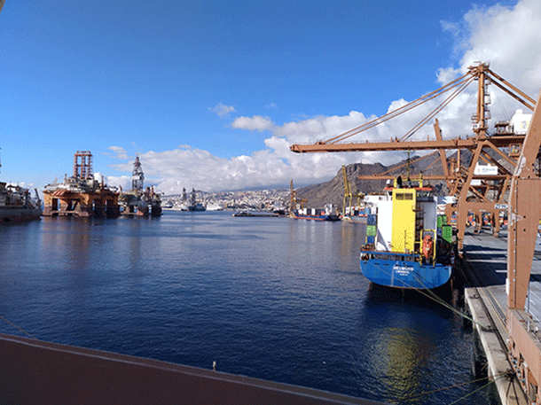
Within this project GMV has recently run a data campaign onboard a cargo ship of the company OPDR (since 2018 MacAndrews) on the Seville-Tenerife-Las Palmas-Seville route, with the aim of analyzing the main idiosyncrasies of the maritime environment.
This campaign, made possible by the collaboration and management of the Harbor Authority of Seville (Puerto de Sevilla), involved the installation of five multi-frequency GNSS receivers at different places on the cargo ship. These receivers recorded data during various operational phases, such as entry into the Seville lock, port operations and ocean navigation.
The information obtained from this process was then used to ascertain the probability of navigation safety being jeopardized during the various events. And, despite the inclement weather during the route, the campaign was reckoned to be a success, largely thanks to the collaboration of the crew of OPDR Canarias.
The results of this data processing enabled us to define with greater certainty the specific maritime safety problems faced and propose a set of technical solutions to head off these problems and guarantee navigation safety.