Earth observation, a key tool for transparency of green investments
Forest restoration is an important factor of climate change adaptation and resilience-building. As such it is a key component of the New Green Deal calls, pacts and policies throughout the world. The European Union is no exception, with its European Green Deal and its flagship initiative, the EU Forest Strategy, which highlights the role of forest landscapes restoration. GMV is backing these international efforts with its EoForest service, a portfolio of EO-based services to support sustainable forest management.
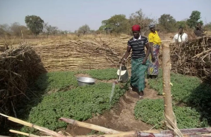
Our latest activity in this field kicked off in June 2021, when GMV was hired by ForestPlanet, Inc. to monitor the reforestation of a damaged forest area in the Usambara Mountains, in North-eastern Tanzania. The tropical forests of this area are a biodiversity hotspot, with many protected zones and several endemic species. The specific area of interest was in Kwezizi Forest region, part of the larger Magamba Nature Reserve.
Using open-source satellite data from the Sentinel-2 constellation provided by European Copernicus Programme, and free VHR imagery from Google Earth, GMV was able to rebuild the story of the changes in the Kwezizi forest. A dense, mature forest in 2018, the area degraded progressively during 2019, mainly due to excessive cutting and fires originated by a growing population, followed by uncontrolled grazing. Yet, in the fall of 2020, thanks to ForestPlanet and its partners, among which there are several corporate donors and the NGO Friends of Usambara, the area was reforested with approximately 80,000 trees belonging to native species. GMV analyzed satellite data spanning mid-2018 to mid-2021 and was able to prove that the reforestation was a success and that the seedlings planted were growing healthfully, following their normal course. ForestPlanet received from GMV several cartographic and graphical outputs describing the evolution of the forest, from the years when it was intact, following its degradation, its destruction by fire and, finally, its status after the restoration.
These results are revealing. Not only are they proof of the success of reforestation, which is key for all actors involved in the value chain, but they also confirm that this restoration-related business model works and can benefit greatly from satellite earth observation. On the one hand, donors and investors benefit from significantly increased transparency of the long-term process, which is expected to promote further investments. On the other hand, foresters receive accurate geospatial information on reforestation results, enabling them to act if needed. Last but not least, it benefits local communities, who can expect to see more restoration initiatives soon. Today in Kwezizi, an incipient forest and a series of intercrops are improving the quality of their soil, slowing erosion and runoff, and thereby contributing to increasing the resilience of local communities against climate change and food insecurity. Improving the forests also promotes tourism in the area, which is an additional source of income for local people.
This successful collaboration led to a new, recently-initiated contract. The new, larger reforestationscheme, coordinated by ForestPlanet in the Irente planting site (Tanzania), will take place in December 2021 and GMV will monitor it from space.