Problem-solving in the field of Earth observation with quantum computing

The field of Earth observation tackles a very wide range of problems, generally by analyzing images taken in different radiation bands or electromagnetic emissions. However, prior to these analyses, satellite operators are faced with a resource optimization problem, which can be described as follows:
Given a set of images requested for a satellite orbit pass, the goal is to determine which subset of images should be taken during that orbit pass, in an effort to optimize one or more particular measures. benefit, importance, capacity, etc.
In almost all cases, taking the full set of requested images is not feasible, as the satellite’s orbit is fixed and there are a number of constraints that limit the combinations of images that can be captured. For example, some images cannot be taken with the same camera, because there are limitations on maneuvering time, capture time, geographic proximity, etc.
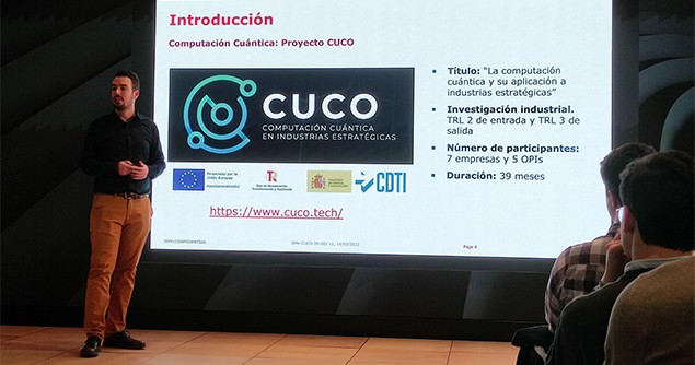
To resolve this issue, Antón Makarov and Alexander Benítez, from GMV’s Artificial Intelligence and Big Data Division, showed at the IBM meetup how this problem can be formulated mathematically and solved using quantum computing. Their presentation was related to the case study they are working on as part of the CUCO project, the first major quantum computing project at the national and business level that seeks to advance the state of the art of quantum algorithms and apply that knowledge to a series of proofs of concept in different strategic sectors of the Spanish economy, such as Energy, Finance, Space, Defense and Logistics. The project has been subsidized by the Center for the Development of Industrial Technology (CDTI) and is supported by the Spanish Ministry of Science and Innovation under the Recovery, Transformation and Resilience Plan.
This problem was not chosen out of the blue. After a lengthy assessment of over 15 different use cases, it was identified as an everyday issue in the aerospace industry. Optimizing image acquisition is a problem that every satellite operator has to deal with on a regular basis. What’s more, image requests often arrive over time, and in practice it is necessary to solve several problems in a single plan, including new images as they arrive. Reducing the execution time of these algorithms can offer a competitive advantage, as well as paving the way for solving future problems with multiple satellites, which require even longer computation times.