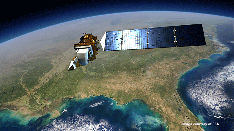
The Landsat 8 satellite sharpens the images of Google Earth and Google Maps

Google has recently launched a major update to its Google Earth program, providing sharper and clearer photos of the earth’s surface thanks to the images supplied by NASA’s earth-observation satellite, Landsat 8.
Up to now Google Earth had used images furnished by the Landsat 7 satellite. Unfortunately, a hardware problem with this satellite produced large diagonal gaps in pictures. Now Google Earth can create unobstructed views of the surface of the planet by analyzing millions of images and stitching together the clearest bits.
The photographs used by this new version of Google Earth are taken by the Landsat 8 satellite each time it completes a journey round the Earth, capturing twice as many images with much higher quality than its forerunner.
This is the eighth satellite of the Landsat program (a joint program of NASA and the United States Geological Service: USGS), which was launched into space back in 2013. Thanks to its state-of-the-art cameras and new image-processing technology, Google is now capable of capturing images with greater detail and truer colors. These same images will also be used to improve Google Maps.
For the Hammers Company, a NASA contractor, GMV developed the Mission Operations Element (MOE), critical component of the operations center of the Landsat Data Continuity Mission (LDCM), which has been making a crucial contribution to earth observation since 1972.
The systems developed by GMV take care of mission-planning, -programming and modeling of the onboard Solid State Recorder (with GMV's Mission Planning System, flexplan), mission-analysis and -archiving (with GMV's archiva system), as well as systems engineering, technical assistance, within the equipment of the Hammers Company.
The satellite photos used by Google for its programs have already come up trumps for monitoring deforestation in the Amazon and forecasting malaria outbreaks, among other crucial uses.